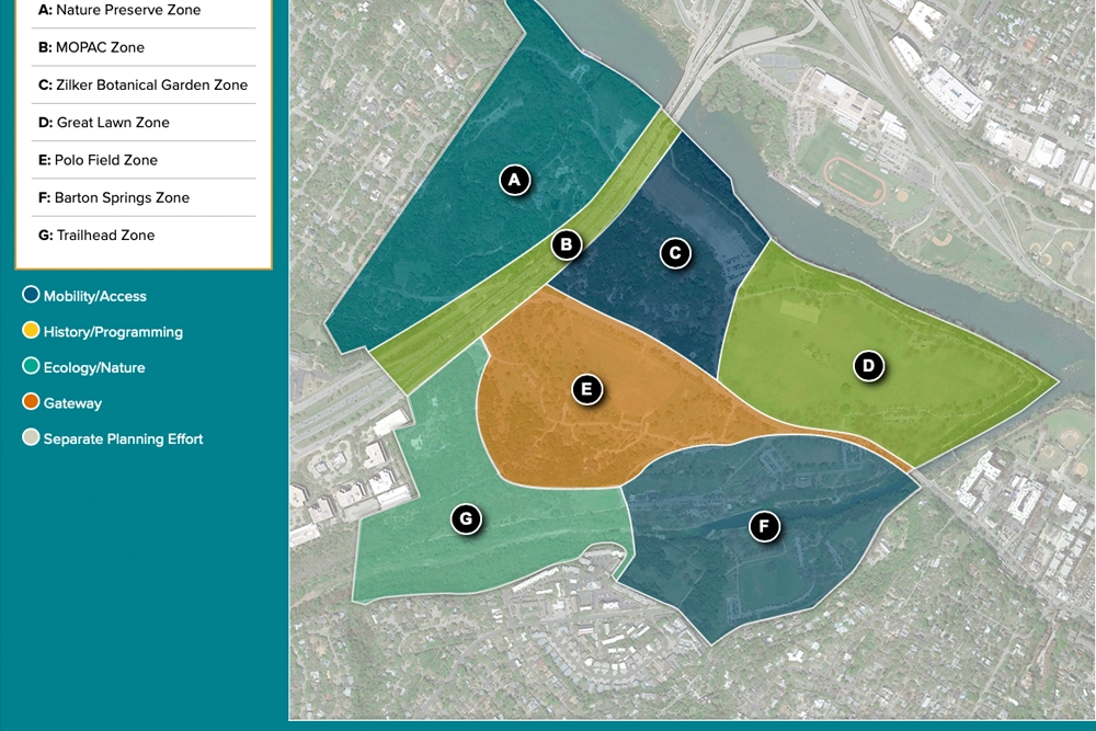
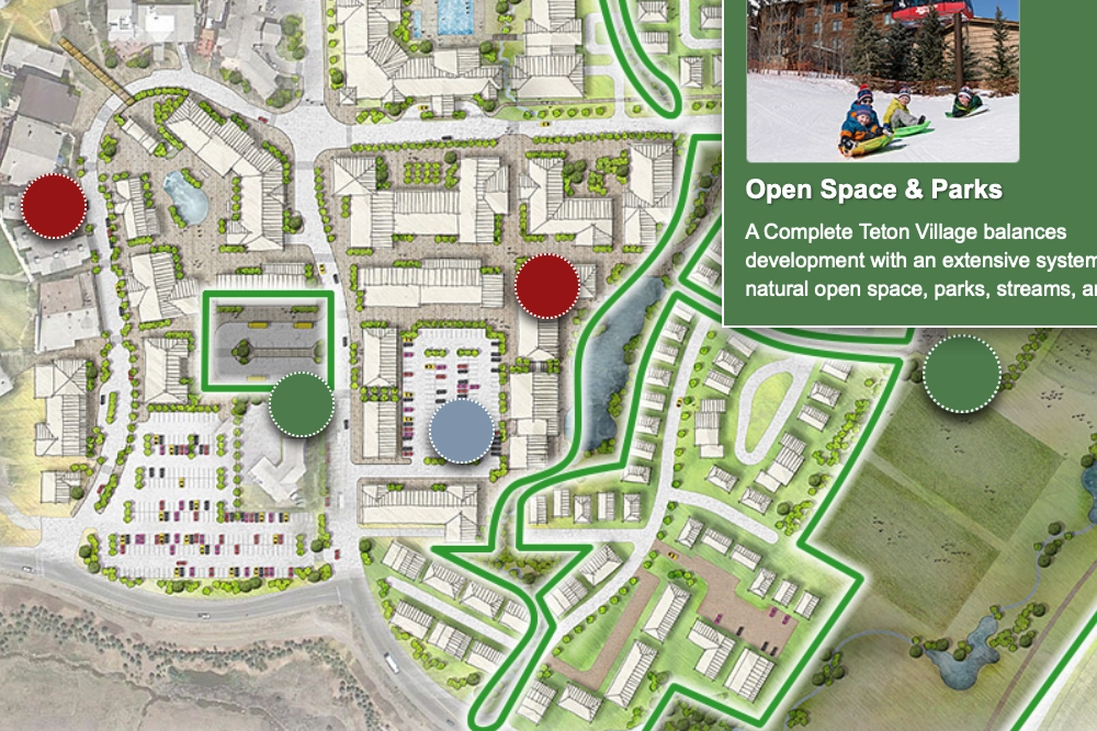
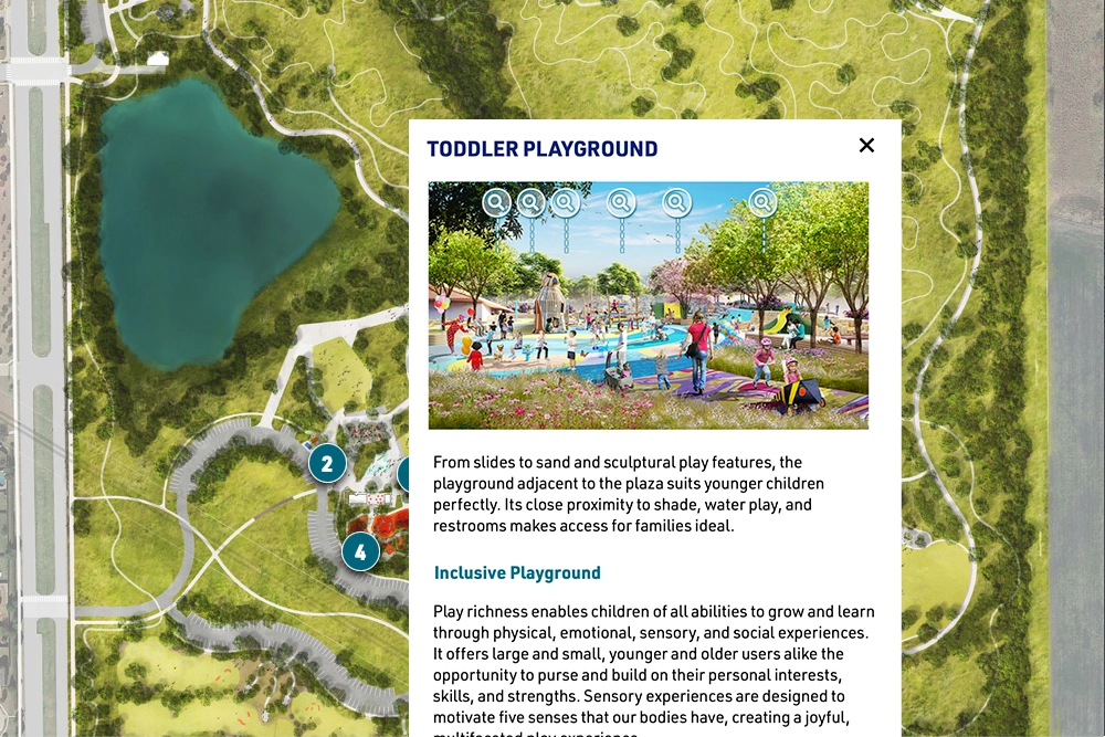
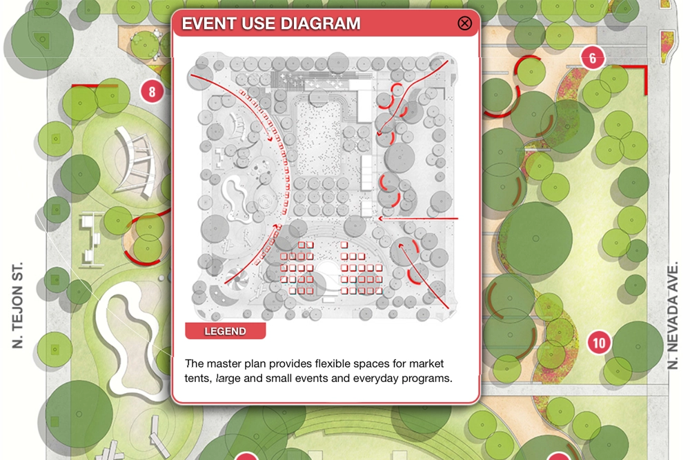
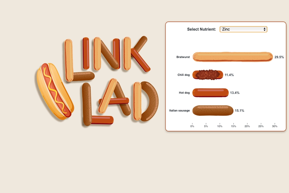
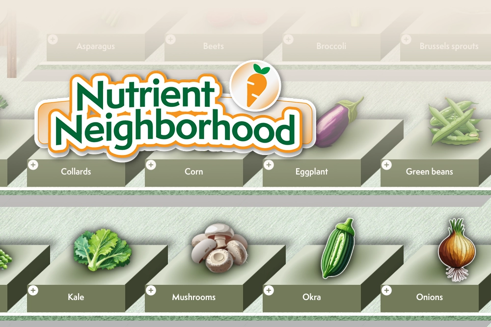
Interactive maps make complex planning information more accessible, helping communities understand proposed changes to parks, public spaces, and urban environments. Custom-designed for each project, these maps present site context, existing conditions, constraints, and evolving design concepts in an intuitive, exploratory format. They can support engagement from early planning through design development, with content updated as alternatives are evaluated and decisions are made. Integrated links connect participants to larger public engagement platforms where they can share feedback through surveys and other participation tools. Project images produced with Design Workshop.